Ireland's Emergency Service

Accurate reliable information can sometimes be a matter of life and death.


GeoDirectory is used by Ireland’s emergency services to respond rapidly to 999 calls. When you’re dealing with emergencies, a few minutes delay can be fatal. You need to know exactly where you’re going – and the fastest route to get there.

Minuscule detail can be crucial. eg., there may be several different entrances into a housing estate – and there are times when every single second counts.

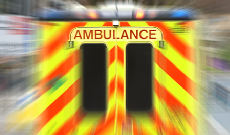
Even the more routine call-outs handled daily by the emergency services demand the highest standards of efficiency. A rapid response by the fire service to a small scale fire can prevent extensive damage to property. The speedy arrival of an ambulance can minimise suffering for someone who has taken ill or been involved in an accident.

To do their job professionally, Ireland’s ambulance and fire crews need top-quality back-up which provides them with fast and reliable information they can trust.

For the emergency services, GeoDirectory has become indispensable

It provides a fingerprint for every building in the Republic of Ireland – a unique, standardised address in the form of an eight-digit number, each pinpointed to an exact geographical location. This allows our firefighters, ambulance crew and paramedics to get to the scene of an incident swiftly and efficiently.

When you dial 999 - or the European standard emergency number 112 – from any of the 11 counties of Leinster, or from Monaghan or Cavan, you’ll be put through to the East Region Control Centre.

According to Richard Sheehan, the Senior Executive Emergency Communications Officer for the control centre, one of the most vital tasks of the centre is to immediately verify the exact location where assistance is needed.

In the past, the control centre used its own in-house address register which they had compiled with the help of the various fire authorities in the region. Richard Sheehan says: 

This was very good if you wanted general information about a location. But we needed to be sure that we were always identifying the exact property. When GeoDirectory was adopted as a national register by local authorities, we merged it with our own in-house addresses, which meant we were now able to identify the exact location of an incident. - Richard Sheehan, Senior Executive Emergency Communications Officer

Smart analytics

The emergency services also use GeoDirectory for analytical purposes – for example to identify accident hotspots, or neighbourhoods with a high fire risk. “This information can then be used for fire planning and accident prevention,” explains Richard Sheehan.

Not every business operates in the same high pressure, adrenalin-fuelled environment as the emergency services. But most businesses are striving to operate more efficiently. They need to save time, they need to save money, and they need to increase customer satisfaction

GeoDirectory's GeoAddress SmartData can help your business operate with the military efficiency of our emergency services by providing you with reliable, accurate data that can be accessed at the speed of sound. 

Go here to see more about GeoAddress SmartData or GeoDirectory's other Products and Services.

For expert advice on how GeoDirectory can make a huge difference to your business, Get In Touch.

If you would like to see more success stories Click Here.

Go here to see more about GeoAddress SmartData or GeoDirectory's other Products and Services.

For expert advice on how GeoDirectory can make a huge difference to your business, Get In Touch.

If you would like to see more success stories Click Here.


Get there first time with the FREE GeoFindIT app. GeoFindIT is now available on iPhone and Android devices.

Find Out More
Geo Find It App Image Geo Find It App Image